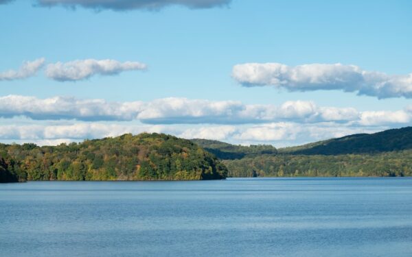
The Finger Lakes region sits on some of the best hiking terrain in the Northeast, but it does not announce itself the way the Adirondacks or Catskills do. There are no 4,000-foot peaks here. Instead, the landscape delivers deep gorges, old-growth forest, a 950-mile cross-state trail, and the only national forest in the state of New York. The elevation changes are moderate — most hikes gain 300 to 800 feet — but the terrain is varied, the views are long, and many trails see only a fraction of the foot traffic that comparable hikes draw in the Adirondack High Peaks.
The Finger Lakes Trail System
The Finger Lakes Trail (FLT) stretches 950-plus miles across the southern tier of New York State, from the Catskills in the east to Allegany State Park in the west. The trail is maintained by the Finger Lakes Trail Conference, a volunteer organization that has been building and maintaining the system since the 1960s. A significant portion of the FLT passes through the Finger Lakes region, crossing ridges, gorges, and forests between the lakes.
The FLT connects to the North Country National Scenic Trail, which runs 4,600 miles from Vermont to North Dakota, making sections of the FLT part of a federally designated long-distance trail. Thru-hiking the full FLT takes most people 40 to 60 days. But the trail is equally well suited to day hikes — road crossings every few miles make it easy to plan out-and-back or shuttle hikes of any length.
White blazes mark the main FLT. Blue blazes mark the branch trails, of which the Bristol Hills Trail and the Interloken Trail are the most significant in the Finger Lakes region.
Finger Lakes National Forest
The Finger Lakes National Forest is the only national forest in New York State. Its 16,000 acres occupy the ridge between Seneca Lake and Cayuga Lake, in the towns of Hector and Lodi in Schuyler and Seneca counties. The land was once failed farmland — the federal government bought it during the Depression — and it has been managed as national forest since 1985.
What this means for hikers: free dispersed camping anywhere within the forest (no permit needed, no fee), over 30 miles of maintained trails, and a quiet backcountry feel that is unusual this close to Ithaca and Watkins Glen. The forest is a mix of hardwood stands, pine plantations, open meadows grazed by cattle in summer, and small ponds.
The Interloken Trail runs 12 miles through the heart of the Finger Lakes National Forest, from Burned Hill Road at the south end to Parmenter Road near Reynoldsville at the north. The trail passes through forest, meadows, and past several ponds. It is mostly flat to gently rolling, with no sustained climbs. Moderate difficulty due to length, but the terrain is easy. Yellow blazes mark the route.
This is one of the best overnight backpacking trails in the region. Free primitive campsites are available along the trail, and Blueberry Patch Campground (also free, first-come-first-served) sits near the trail’s midpoint. Water is available from streams along the route but should be filtered.
A 5.5-mile loop that connects with the Interloken Trail and passes through forest and meadow with views toward both Seneca and Cayuga Lakes on clear days. Easy to moderate difficulty. This is one of the most accessible day hikes in the national forest.
Easy Hikes
1.5 miles round trip, flat, mostly paved. This trail follows Taughannock Creek from the parking area to the base of 215-foot Taughannock Falls. The gorge walls tower up to 400 feet on either side. Accessible to strollers and most wheelchairs. Allow 45 minutes to an hour. The trailhead is at Taughannock Falls State Park on Cayuga Lake, 10 minutes north of Ithaca.
7 miles one way, flat. This former railroad bed follows the Keuka Lake Outlet from Penn Yan to Dresden, tracing the stream that connects Keuka Lake to Seneca Lake. The trail is crushed stone and dirt, level the entire way, passing through woods and alongside the outlet channel. Old lock remnants from the 19th-century canal system are visible along the route. Great for walking, running, and cross-country skiing. Easy difficulty. Allow 2 to 3 hours one way, or arrange a car shuttle for a one-way walk.
Onanda Park Trail System
UnverifiedA network of short trails totaling about 4 miles on the west shore of Canandaigua Lake, accessed from Onanda Park. The trails loop through a forested gorge with a small waterfall and connect to the lake shore. Easy to moderate difficulty. Day-use fee at the park.
Moderate Hikes
Buttermilk Falls Gorge Trail
1.6 miles one way from the lower parking lot to Pinnacle Rock and Lake Treman. The trail climbs alongside the cascading falls, gaining about 500 feet of elevation via stone steps and dirt path. The views of the falls from the trail are continuous and dramatic. Return via the Rim Trail for a 3.2-mile loop. Allow 1.5 to 2 hours. Moderate difficulty. Trail opens mid-May, closes early November.
Conklin Gully / Parish Glen
UnverifiedA 3-mile out-and-back trail in the town of Naples (Ontario County) that descends into a narrow gorge with waterfalls and creek crossings. The trail drops about 400 feet into the gully and requires some scrambling over rocks. Moderate to strenuous depending on water levels and trail conditions. Less maintained than the state park gorge trails, which is part of its appeal. Parking is at the trailhead on Parish Hill Road. Free access.
The Bristol Hills Trail is a 55-mile branch of the Finger Lakes Trail that runs from the FLT main line near Naples north to Ontario County Park near Canandaigua. The terrain rolls through hardwood forest, hemlock ravines, and open ridges with long views. Several road crossings allow you to break the trail into day hikes of 4 to 8 miles.
The section from Hi Tor Wildlife Management Area south toward Naples offers some of the best fall foliage hiking in the region, with panoramic views of Canandaigua Lake and the Bristol Hills from the ridge. Moderate difficulty with steady but manageable elevation changes.
Strenuous Hikes
Watkins Glen Gorge Trail
1.5 miles one way, 832 stone steps, 400 feet of elevation gain. The trail passes 19 waterfalls, crosses stone bridges, and threads through tunnels carved into the rock behind cascading water. This is one of the most photographed trails in New York State, and the crowds reflect that — arrive before 9 AM on summer weekends or plan for a weekday visit. The trail is one-way during peak season. Return via the Indian Trail or South Rim Trail (each about 1 mile). Strenuous due to the sustained stair climbing. Allow 1.5 to 2 hours for the full loop.
Robert H. Treman Gorge Trail
2.3 miles round trip from the lower entrance to Lucifer Falls (115 feet). The trail descends stone steps into the gorge and follows Enfield Creek past cascades, deep pools, and layered rock walls. The terrain is rougher than Watkins Glen and significantly less crowded. Strenuous due to uneven stone steps and elevation change. Combine with the Rim Trail for a 4.5-mile loop.
A 3,000-acre state forest in Yates County, south of Keuka Lake’s west arm. The forest has about 8 miles of unmarked trails and old logging roads through remote, hilly terrain. No maintained facilities, no blazes in many areas, and limited cell service. This is genuine backcountry hiking by Finger Lakes standards. In winter, the forest is excellent for snowshoeing, with rolling hills and frozen ponds. Strenuous difficulty due to navigation challenges and variable trail conditions. Recommended for experienced hikers.
Gorge Hikes Ranked by Difficulty
If you are choosing between the region’s gorge trails, here is how they compare:
- Easiest: Taughannock Gorge Trail — flat, paved, short, one dramatic payoff at the end.
- Easy-Moderate: Havana Glen (Eagle Cliff Falls) — short, gentle grade, quiet.
- Moderate: Buttermilk Falls — stone steps, steady climb, about 500 feet of gain.
- Moderate-Strenuous: Robert H. Treman — rougher terrain, fewer maintained steps, more remote feel.
- Strenuous: Watkins Glen — 832 steps, relentless climbing, crowds add to the challenge on summer weekends.
- Strenuous: Cascadilla Gorge — 400 feet of stone steps, urban-to-campus setting, trail can be slippery.
Seasonal Considerations
Spring (April–May)
Gorge trails at state parks typically open mid-May. Before they open, the Finger Lakes National Forest and the FLT main line are accessible and often uncrowded. Trails can be muddy through April. Wildflowers peak in late April and early May — trillium, hepatica, and bloodroot are common in the hardwood forests.
Summer (June–August)
Peak season for all trails. Gorge trails are busiest on weekends; arrive before 9 AM or hike on weekdays. The Finger Lakes National Forest and backcountry FLT sections remain relatively quiet even in July.
Fall (September–October)
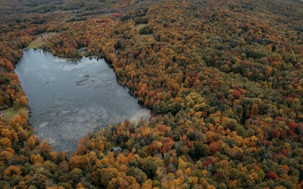
The best hiking season in the Finger Lakes. Cool temperatures, dry trails, fewer bugs, and peak fall foliage typically arrives in the second and third weeks of October. The Bristol Hills Trail, Interloken Trail, and gorge overlooks are all exceptional for fall color.
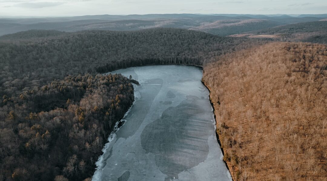
Winter (November–March)
Gorge trails close. The Finger Lakes National Forest, FLT, and state forests remain open for hiking and snowshoeing. Italy Hill and the Bristol Hills are particularly good for snowshoeing after a fresh snowfall. Cross-country skiing is possible on the Keuka Outlet Trail and Interloken Trail when snow conditions cooperate.
Trail Etiquette
- Stay on marked trails in gorge areas. The shale walls are fragile and the drop-offs are real.
- Pack out all trash. The gorge trails see heavy use and litter is a growing problem.
- Dogs are allowed on most trails but must be leashed in state parks. Clean up after them.
- Yield to uphill hikers on narrow gorge trails.
- Swimming is only allowed in designated areas within state parks. Do not swim in the gorge pools unless signs specifically permit it.